File:Canada (orthographic projection).svg

Size of this PNG preview of this SVG file: ༥༤༡ × ༥༤༡ pixels. Other resolutions: ༢༤༠ × ༢༤༠ pixels | ༤༨༠ × ༤༨༠ pixels | ༧༦༨ × ༧༦༨ pixels | ༡,༠༢༤ × ༡,༠༢༤ pixels | ༢,༠༤༨ × ༢,༠༤༨ pixels.
ཐོག་མའི་ཡིག་ཆ། (SVG file, nominally ༥༤༡ × ༥༤༡ pixels, file size: ༤༨༧ KB)
བསྡུས་དོན།
| Description |
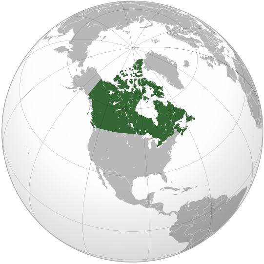
English: Map of Canada |
||||
| Date | |||||
| Source |
Own work (Original text: Own work,)
|
||||
| Author | Ssolbergj | ||||
| Other versions |
Derivative works of this file: Map of New Brunswck.png .svg)
|
||||
| SVG genesis |

.svg)
.svg)
.svg)
.svg)
.svg)
.svg)
.svg)
.svg)
.svg)
.svg)
.svg)
.svg)
.svg)
.svg)
.svg)
.svg)
.svg)
.svg)
.svg)
.svg)
.svg)
.svg)
.svg)
.svg)
.svg)
.svg)
.svg)
.svg)
.svg)
.svg)
.svg)
.svg)
.svg)
.svg)
.svg)
.svg)
.svg)
.svg)
.svg)
.svg)
.svg)
.svg)
.svg)
.svg)
.svg)
.svg)
.svg)
.svg)
.svg)
.svg)
.svg)
.svg)
.svg)
.svg)
.svg)
.svg)
.svg)
.svg)
.svg)
.svg)
.svg)
.svg)
.svg)
.svg)
.svg)
.svg)
.svg)
.svg)
.svg)
.svg)
.svg)
.svg)
.svg)

.svg)

.svg)

.svg)
.svg)
.svg)
.svg)
.svg)
.svg)
.svg)


.svg)
.svg)
.svg)
.svg)
.svg)
.svg)
.svg)

.svg)
.svg)
.svg)
.svg)
.svg)
.svg)
.svg)
.svg)
.svg)

.svg)
.svg)
.svg)
.svg)
.svg)
.svg)
.svg)
_without_national_boundaries.svg)
.svg)
.svg)
.svg)
.svg)
.svg)
.svg)

.svg)
.svg)
.png)
.svg)
.svg)
.svg)
.svg)

.svg)
.svg)
.svg)
.svg)
.svg)
.svg)
.svg)
.svg)
.svg)
.svg)
.svg)

.svg)
.svg)
.svg)
.svg)
.svg)
.svg)
.svg)
.svg)
.svg)

.svg)
.svg)

.svg)
.svg)
.svg)
.svg)
.svg)
.svg)
.svg)
.svg)
.svg)
.svg)
.svg)
.svg)
.svg)
.svg)
.svg)
.svg)
.svg)
.svg)
.svg)
.svg)
.svg)
.svg)
.svg)
.svg)
.svg)
.svg)
.svg)
_-_Crimea_disputed.svg)
.svg)
.svg)
.svg)
.svg)
.svg)
.svg)
.svg)
.svg)
.svg)
.svg)
.svg)
_political.svg)
.svg)
.svg)
.svg)
.svg)
_-_Crimea_disputed_-_no_borders.svg)
.svg)
.svg)
.svg)
.svg)
.svg)
.svg)
.svg)
.svg)
.svg)
.svg)
.svg)

.svg)
.svg)
.svg)

.png)
.svg)
.svg)
.svg)
.svg)
.svg)
.svg)
.svg)
.svg)
.svg)
.svg)
.svg)
.svg)
.svg)
.svg)
.svg)
.svg)
.svg)
.svg)
.svg)
.svg)
.svg)
.svg)
.svg)
.svg)
.svg)
.svg)
.svg)
.svg)
.svg)
.svg)
.svg)
.svg)
.svg)
.svg)
.png)
.svg)
.svg)
.svg)
_(orthographic_projection).png)
.svg)
.svg)
.svg)
གན་རྒྱ་ནང་ཞུགས་པ།
I, the copyright holder of this work, hereby publish it under the following license:
|cc-by-3.0}}🐸
ཡིག་ཆའི་ལོ་རྒྱུས།
ཟླ་ཚེས་/དུས་ཚོད་གནུན་ཏེ་རྩོམ་ཡིག་ལ་ལྟ་བ།
| ཚེས་གྲངས། / དུས་ཚོད། | བསྡུས་དོན། | ཚད། | སྤྱོད་མི། | བསམ་ཚུལ། | |
|---|---|---|---|---|---|
| ད་ལྟ། | ༡༧:༠༠, ༢༩ ཟླ་བཅུ་བ། ༢༠༠༨ | | ༥༤༡ × ༥༤༡ (༤༨༧ KB) | Ssolbergj | {{Information |Description={{en|1=Map of Canada}} |Source=Own work by uploader |Author=Ssolbergj |Date=29 October 2008 |Permission= |other_versions= }} <!--{{ImageUpload|full}}--> Category:Orthographic projections [[Category:Ma |
ཡིག་ཆ་བེད་སྤྱོད་ཁུལ།
pagelinks འདི་ལ་སྦྲེལ་ཡོད།
Global file usage
The following other wikis use this file:
- Usage on ady.wikipedia.org
- Usage on af.wikipedia.org
- Usage on af.wiktionary.org
- Usage on als.wikipedia.org
- Usage on ang.wikipedia.org
- Usage on arc.wikipedia.org
- Usage on ar.wikipedia.org
- Usage on az.wiktionary.org
- Usage on bcl.wikipedia.org
- Usage on be-tarask.wikipedia.org
- Usage on beta.wikiversity.org
- Usage on be.wikipedia.org
- Usage on be.wiktionary.org
- Usage on bg.wikipedia.org
- Usage on bm.wikipedia.org
- Usage on br.wikipedia.org
- Usage on ceb.wikipedia.org
- Usage on chr.wikipedia.org
- Usage on chy.wikipedia.org
- Usage on ckb.wikipedia.org
- Usage on crh.wikipedia.org
- Usage on cs.wikipedia.org
- Usage on cs.wikiquote.org
- Usage on cu.wikipedia.org
- Usage on cv.wikipedia.org
- Usage on da.wikipedia.org
- Usage on de.wikipedia.org
- Usage on dv.wikipedia.org
- Usage on el.wikipedia.org
- Usage on eml.wikipedia.org
- Usage on en.wikipedia.org
- List of companies of Canada
- User talk:Big iron
- Index of Canada-related articles
- User talk:Carbon Caryatid
- List of sovereign states and dependent territories in North America
- User:Never Mystic
- User talk:LovelyLillith
- Canada–Latin America relations
- Outline of Canada
- Wikipedia talk:WikiProject Finland/Archive 1
View more global usage of this file.
.svg)
.svg)